
Suface and Groundwater Services
..


Established in 2011, Geo Planet Solution embarked on a soft
launch as a registered consulting firm specializing in
Geospatial solutions in 2D & 3D manner Groundwater,
watershed, Forestry & Environmental Studies and Mineral
Exploration. Over the years, our dedication and expertise have
transformed us into a prominent conglomerate of industry
professionals, offering comprehensive field-based services and
cutting-edge technology solutions across various business
domains.
In 2016, we evolved into a registered Private Limited
Company, Geo Planet Solution Pvt. Ltd., solidifying our
commitment to delivering exceptional results.


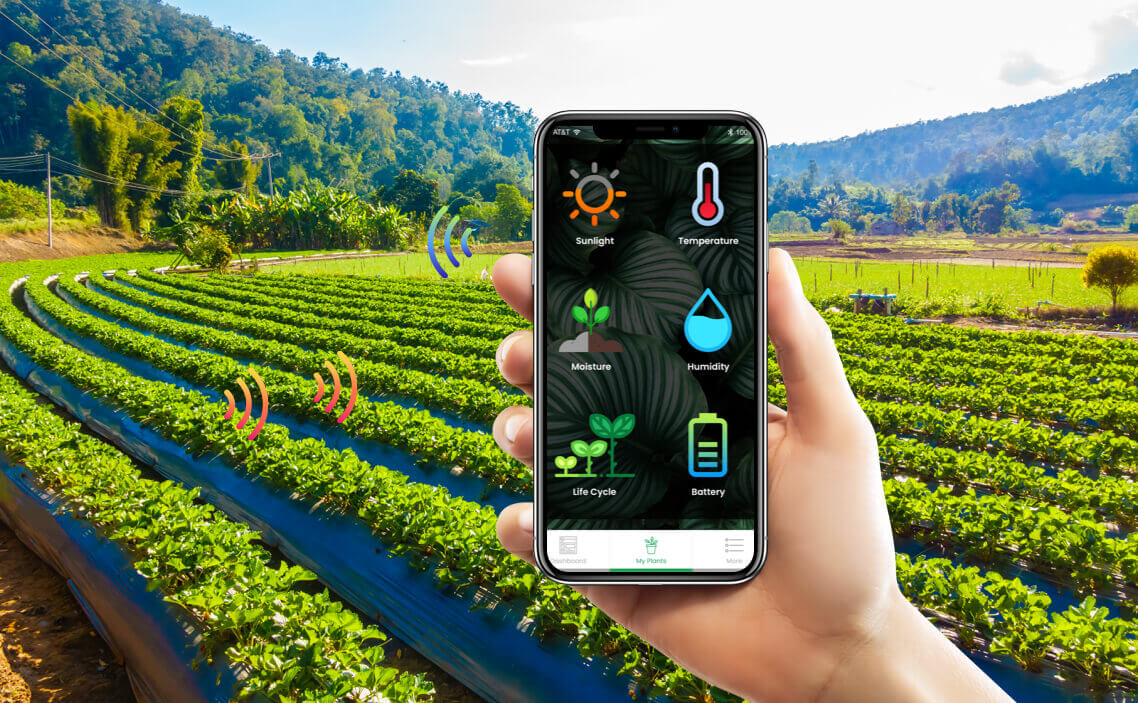
Leveraging advanced geospatial technologies, we provide actionable insights that facilitate informed decision-making. From urban planning to environmental monitoring, our geospatial solutions empower businesses and governments to harness the power of location-based data.

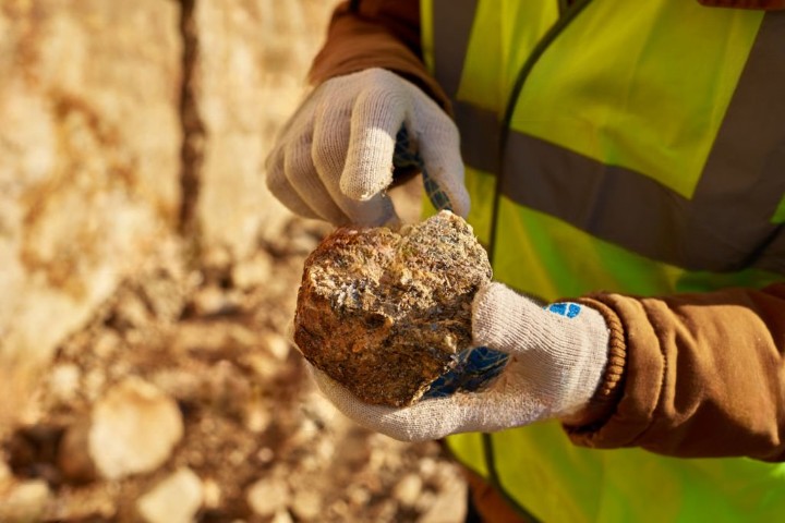
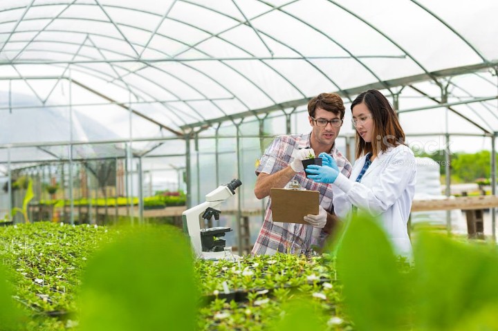
Our seasoned geologists and exploration specialists offer invaluable guidance in uncovering mineral resources. Through cutting-edge techniques and robust analysis, we assist clients in identifying and assessing mineral deposits for sustainable extraction.
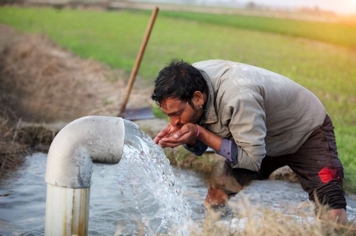
We excel in assessing and managing groundwater resources, catering to industries reliant on sustainable water supply. Our solutions encompass hydrogeological studies, resource assessment, and sustainable management strategies.
Addressing ecological concerns is at the heart of our environmental studies division. We conduct thorough assessments, impact analyses, and mitigation strategies to ensure responsible and sustainable development.
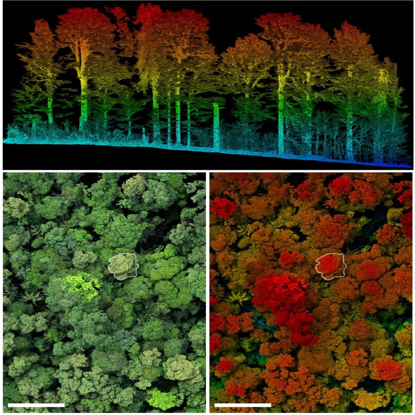
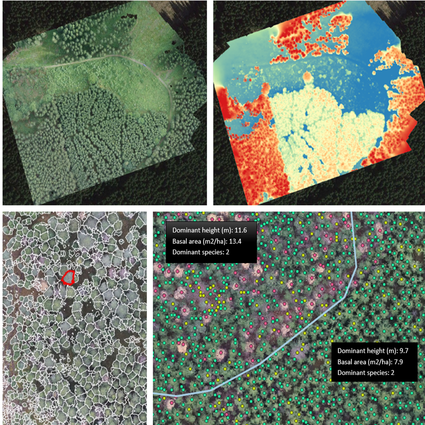
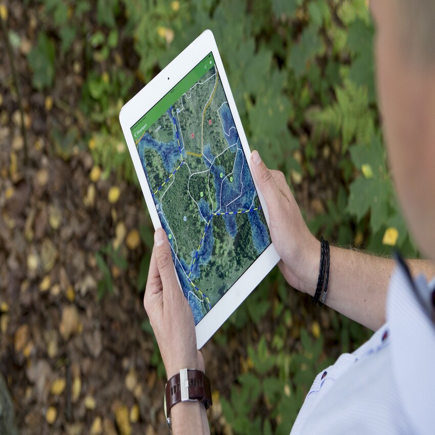
Harnessing the depths of expertise, we offer an array of geospatial services that seamlessly blend technology and nature. Our portfolio encompasses Hydrogeological Studies and Watershed Management for sustainable resource utilization. Dive into the depths with Bathymetric Surveys, explore the Earth's surface intricately with GPR Surveys, and witness real-time 3D mapping empowered by AI. From Forest and Environment-based Services to GIS-based Applications, we epitomize geospatial excellence in a harmonious symphony of innovation and environmental stewardship.
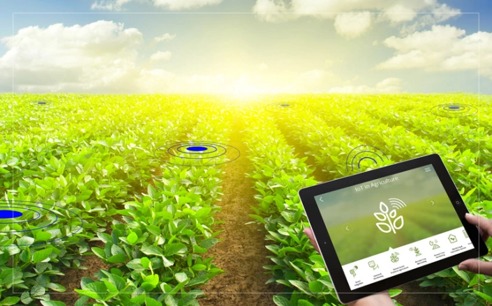
Empowering Environmental Insights: Our range includes Telemetry Digital Water Flow Meters and Water Level Recorders, Piezometers, and Automatic Weather Stations. Elevate geospatial analyses with AI-driven software. Safeguard wildlife with Wireless Camera Traps, and ensure security with Surveillance Systems for Avalanche, Disaster, and Forest monitoring. Unleash SAR and Hyperspectral software for comprehensive solutions. Discover innovation, precision, and protection in every product.


Wildlife Tourism Management Information System "WildTMS"


Web GIS enabled Tree Census & Information System "WTIS"


IoT based Waterhole Monitoring System "WMS"
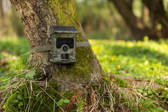

Real-time Surveillance Through Camera Traps "RangersEye"


Plantation Planning and Monitoring System "TreeTrek"
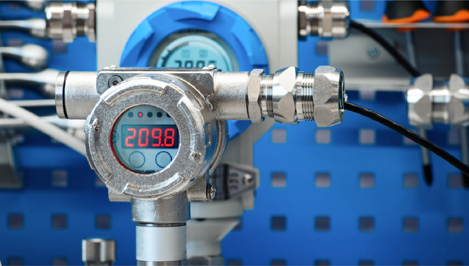


Telemetry Digital Water Flow Meter "TDWFM"
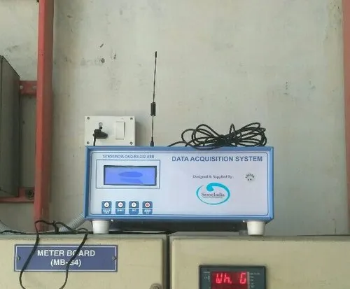

Telemetry Digital Water Level Recorder "TDWLR"
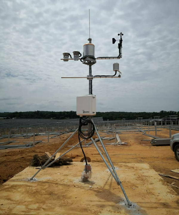


Automatic Weather Station "AWS"


.jpg)
.jpg)
.jpg)


